Atlas to Accompany the Official Records of the Union and Confederate Armies (AKA the War of the Rebellion Atlas)
Sold Out / Out of Stock
Atlas to Accompany the Official Records of the Union and Confederate Armies (AKA the War of the Rebellion Atlas)
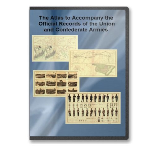
The Atlas to Accompany the Official Records of the Union and Confederate Armies (AKA the War of the Rebellion Atlas) was published as a companion piece to the Official Records of the American Civil War.
The Atlas contains three types of illustrations: maps, illustrations based on photographs, and illustrations and technical drawings.
Maps: A total of 156 plates containing maps ranging from small-scale engagements to regional views and date-specific snapshots of long-running sieges like Vicksburg and Atlanta.
Illustrations based on photographs: Twelve plates that include images of Charleston Harbor and Ft. Sumter, Missionary Ridge and various elements of mid-nineteenth century warfare.
Illustrations and technical drawings: Ten plates containing diagrams of defensive elements (redoubts, redans, and forts, for example), equipment and armaments, uniforms, and flags.
The first two images are a sample of one of the illustrations in the atlas in a small size and then blown up to about 30% of its fully detailed size to help you get an idea of how detailed the images are in the atlas. (The blow up is of frame eight in the first image.)
This DVD runs on all Windows computers. You must have a web browser and a jpeg2 viewer to work with the files on this disk. In the introduction section of the disk, we provide a jpeg2 viewer that you can install and use to make use of the jpeg2 files. (Note to Macintosh owners: If you have a jpeg2 viewer for the Macintosh or know where to download one, this product will work fine on your computer. We are not a Mac house so we were not able to recommend any viewers for you.)