Please be aware orders placed now may not arrive in time for Christmas, please check delivery times.
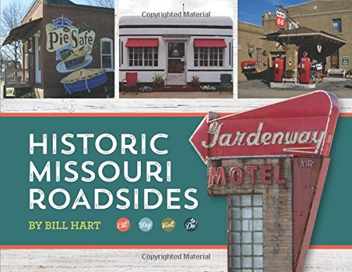
Historic Missouri Roadsides
Historic Missouri Roadsides is a richly illustrated travel/history/photography book, consisting of six tours of Missouri on mostly two-lane roads and highways. Varying greatly in length, five of the seven tours mark their beginning points near Kansas City and St. Louis, making the tours attractive to Missouri ''staycationers'' who are eager to get out of the city. One tour is traveled almost exclusively on Missouri Route 79. Dubbed the River Road tour, the route along Highway 79 closely follows the Mississippi River north from St. Charles County to Lewis County, near the Iowa border. A second tour which closely follows the Mississippi River is El Camino Real, which travels along US Highway 61 southward from Jefferson County to New Madrid in the Missouri Bootheel. The Gottfried Duden/Lewis & Clark Tour traverses Missouri Highway 100 from Gray Summit in Franklin County westward to tiny Bonnot's Mill on the Osage River in Osage County. The Mostly 24 Tour begins in Excelsior Springs in northwest Missouri and travels eastward across the state to Hannibal. The Platte Purchase tour begins in St. Joseph Missouri and heads north and east through all of the counties of the purchase which completed the map of Missouri in 1853 and then some, traveling to Unionville in north central Missouri. The final trip, called the Osage Hills and Prairies, travels through southwest Missouri from Lebanon in Laclede County to Nevada in Laclede County, follows a part of Old Route 66 to Carthage, then ends at Nevada in Vernon County. Places to eat/drink, visit/shop and stay are listed in the book and include only small, Missouri-owned businesses. Don't look for McDonald's here - only real places owned by real people and keeping it local. This book is richly illustrated with photographs by the author and post cards and mementos from his personal collection.