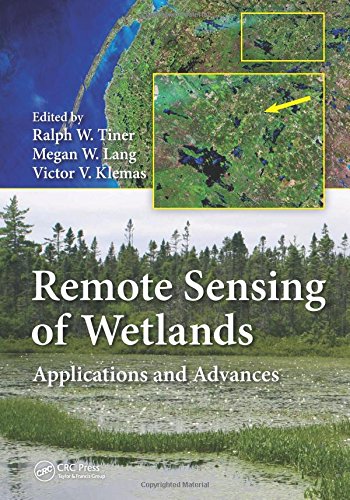


Effectively Manage Wetland Resources Using the Best Available Remote Sensing Techniques
Utilizing top scientists in the wetland classification and mapping field, Remote Sensing of Wetlands: Applications and Advances covers the rapidly changing landscape of wetlands and describes the latest advances in remote sensing that have taken place over the past 30 years for use in mapping wetlands. Factoring in the impact of climate change, as well as a growing demand on wetlands for agriculture, aquaculture, forestry, and development, this text considers the challenges that wetlands pose for remote sensing and provides a thorough introduction on the use of remotely sensed data for wetland detection. Taking advantage of the experiences of more than 50 contributing authors, the book describes a variety of techniques for mapping and classifying wetlands in a multitude of environments ranging from tropical to arctic wetlands including coral reefs and submerged aquatic vegetation. The authors discuss the advantages and disadvantages of using different remote sensing techniques for wetland detection under varied conditions and circumstances. They also analyze commonly available data, reveal cost-effective methods, and offer useful insights into future trends.
Comprised of 25 chapters, this text:
Remote Sensing of Wetlands: Applications and Advances uses a variety of contributors, touching on pertinent topics, to help you gain a greater understanding of the latest technologies, strengths, and limitations surrounding this emerging field.
| Country | USA |
| Binding | Hardcover |
| EAN | 9781482237351 |
| ISBN | 1482237350 |
| Label | CRC Press |
| Manufacturer | CRC Press |
| MPN | 226 colour illustrations, 62 black & whi |
| NumberOfItems | 1 |
| NumberOfPages | 574 |
| PartNumber | 226 colour illustrations, 62 black & whi |
| PublicationDate | 2015-03-23 |
| Publisher | CRC Press |
| Studio | CRC Press |
| ReleaseDate | 0000-00-00 |