☰
×
My Account
Cart
My Account
Categories
Appliances
Arts, Crafts & Sewing
Automotive
Baby
Beauty
Books
CDs & Vinyl
Collectibles & Fine Arts
Cell Phones & Accessories
Clothing, Shoes & Jewellery
Computers
Electronics
Health & Personal Care
Home & Kitchen
Industrial & Scientific
Luggage & Travel Gear
Musical Instruments
Office Products
Patio, Lawn & Garden
Pet Supplies
Software
Sports & Outdoors
Tools & Home Improvement
Toys
Video Games
Sports & Outdoors
>
Hunting & Fishing
>
Fishing
>
Tools
>
Charts & Maps
R 1,079
Paradise Cay Publications NOAA BookletChart 12277: Chesapeake and Delaware Canal
R 1,257
Narraganset Bay, RI - Laminated Nautical Navigation & Fishing Chart by Captain Segull's Nautical Sportfishing Charts | Chart # NB104
R 1,114
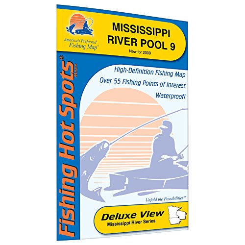
Mississippi River-Pool 9 Fishing Map
R 1,124
Cedar Creek Lake Fishing Map
R 1,079
Paradise Cay Publications NOAA BookletChart 25641: Virgin Islands-Virgin Gorda to St. Thomas and St. Croix;Krause Lagoon
R 1,024
NOAA Chart 12354: Long Island Sound Eastern Part
R 1,168
Woman Chain Fishing Map, Lake
R 1,124
Poygan/Winneconne/Butte des Morts Fishing Map
R 1,347
Kabetogama Fishing Map, Lake
R 385
Express Yourself Products Sunfish Family Ident-I-Card - Freshwater Fish Identification Card
40
-
50
of
100 Results
previous
3
4
5
6
7
next